
SOLUTIONS FOR THE FIELD
Drone & aerial mapping
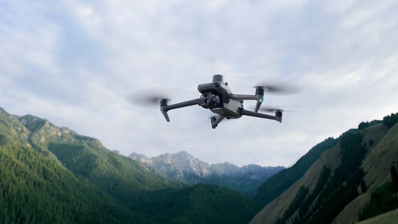
Equip your team with drone and aerial-mapping solutions matched to your site and deliverables, from platform and payload selection to processing software, training and support.
WHERE IT FITS
Technology connected to your task.
01
Site mapping
02
Progress documentation
03
Aerial data collection
BEFORE YOU CHOOSE
A few questions. A better decision.
- 01What deliverable and site extent?
- 02Do you need imagery or LiDAR?
- 03What operating arrangements and permissions are needed?
OPTIONS TO EXPLORE
The right model follows your requirements.
- DJI and Quantum Systems options for aerial surveying
Final configuration, availability and specifications depend on the model and the quotation for your project.
Know what you need?
Explore products and commercial details in the store, or ask our team before purchasing.
Browse products in the storeYOUR NEXT STEP
Talk to a specialistEvery project starts with a question. Let’s find your answer.
Tell us about your work. We’ll help you find the right equipment or service.