
Consultation
We understand your project, site and budget before recommending equipment.
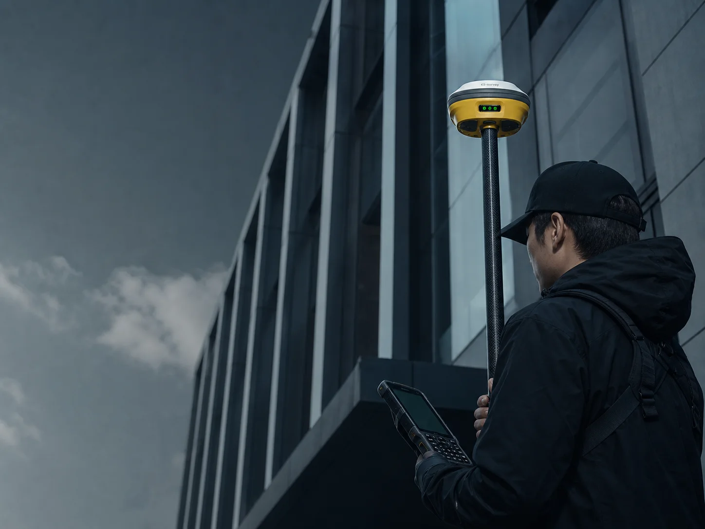
Professional surveying technologies from global brands, backed by consultation, training, maintenance, calibration and after-sales support across the Kingdom.
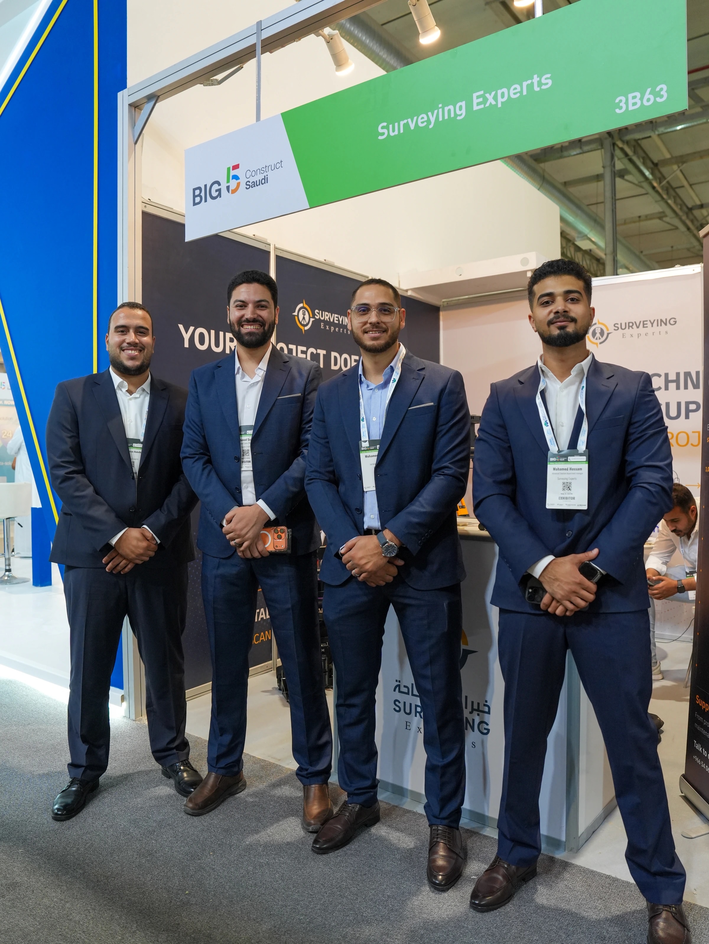
Surveying Experts provides professional surveying equipment and integrated support for construction, infrastructure, surveying and geomatics teams across Saudi Arabia.
We support customers from their first recommendation and instrument selection through supply, setup, training, maintenance, calibration and long-term field use.
Contractors, surveying offices and consultants have different needs. We connect each application with the equipment, software and support it requires.
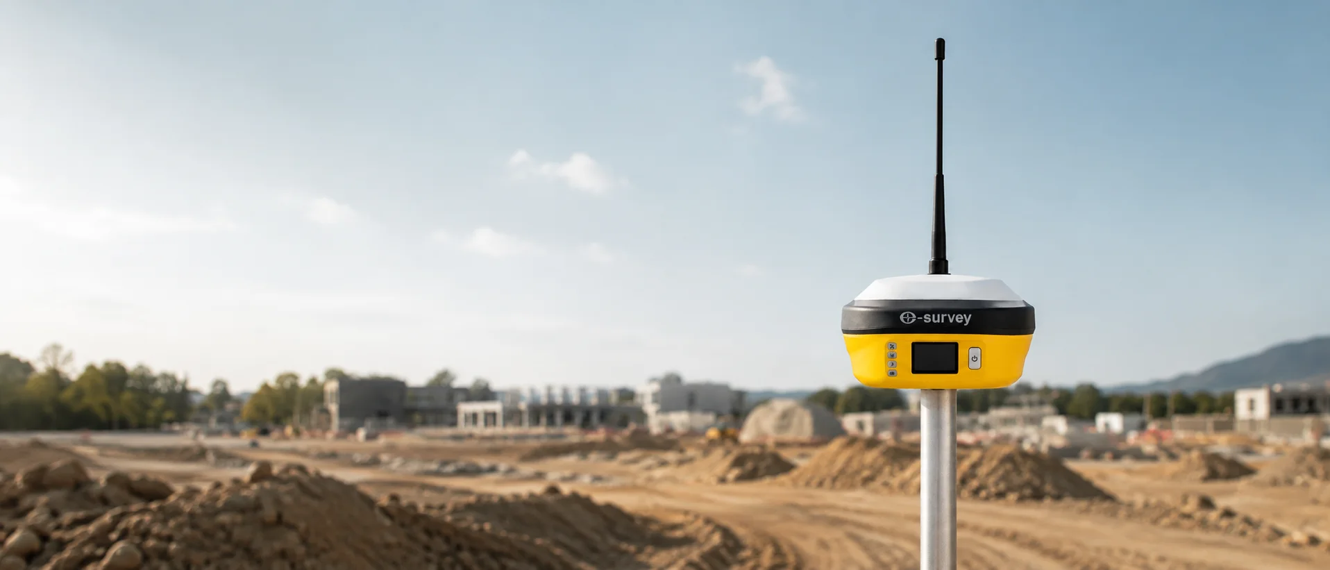
For site layout, grading, excavation, progress tracking and equipment readiness.
GNSS · Total Station · Machine Control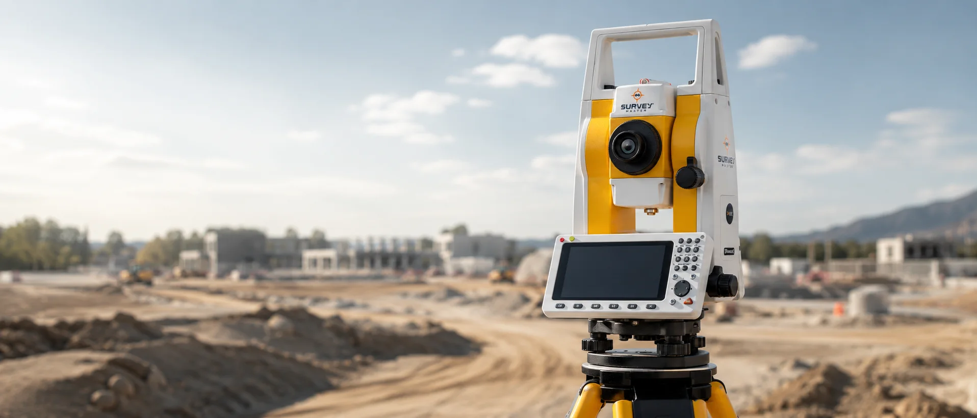
For dependable daily measurement, instruments, accessories, calibration and support.
GNSS · Total Station · 3D Scanning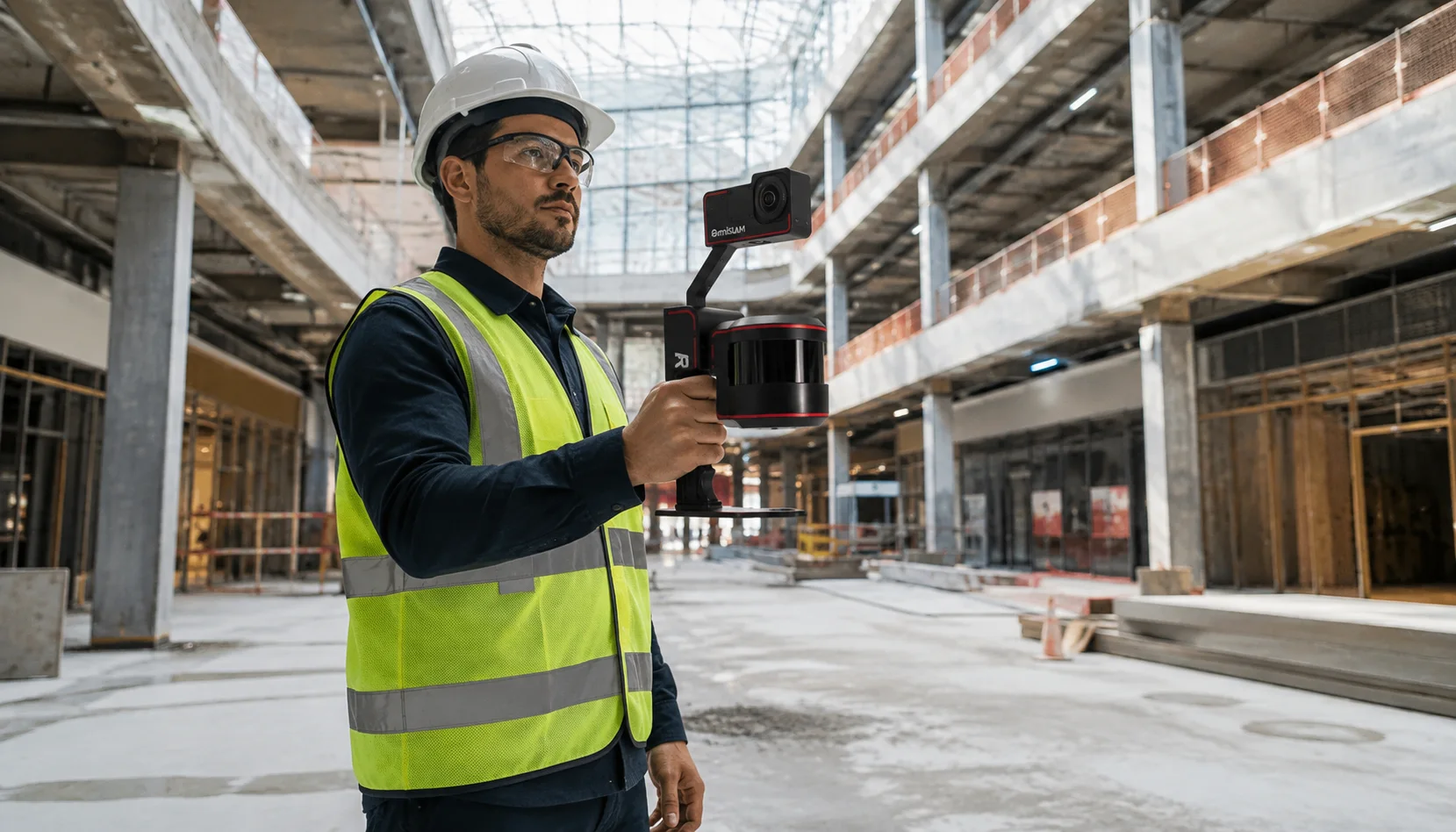
For site documentation, as-built verification, inspection, reporting and field data.
3D Scanning · GNSS · GPR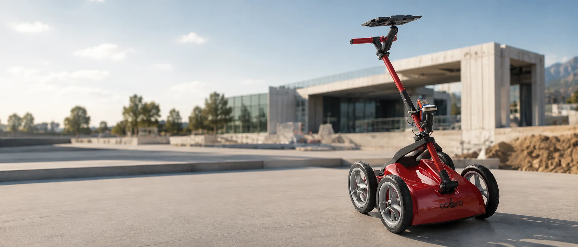
For positioning, utility detection, mapping and extended field operations.
GNSS · GPR · Aerial MappingFrom the first consultation to long-term field use, we connect knowledge, equipment and service in a continuing relationship with your team.
We understand your project, site and budget before recommending equipment.
Compare technologies and choose what fits your workflow.
Quotations, branch availability and our official online store.
Help your team get familiar with the instrument before its first field day.
Technical guidance while your team is on site and work is underway.
Inspection and service to protect performance and extend instrument life.
Measurement, checks and adjustment for reliable instrument readings.
Ongoing follow-up and support after every purchase.
New and used equipment, daily, weekly or monthly rental, and rent-to-own options. Discuss the configuration, duration and ownership route that fit your work.
Installment options, rental credit toward purchase, availability and terms are defined in the agreed quotation.
Explore rental optionsReality capture, aerial mapping, bathymetry and underground detection. Technologies that expand how you understand a site and make decisions.
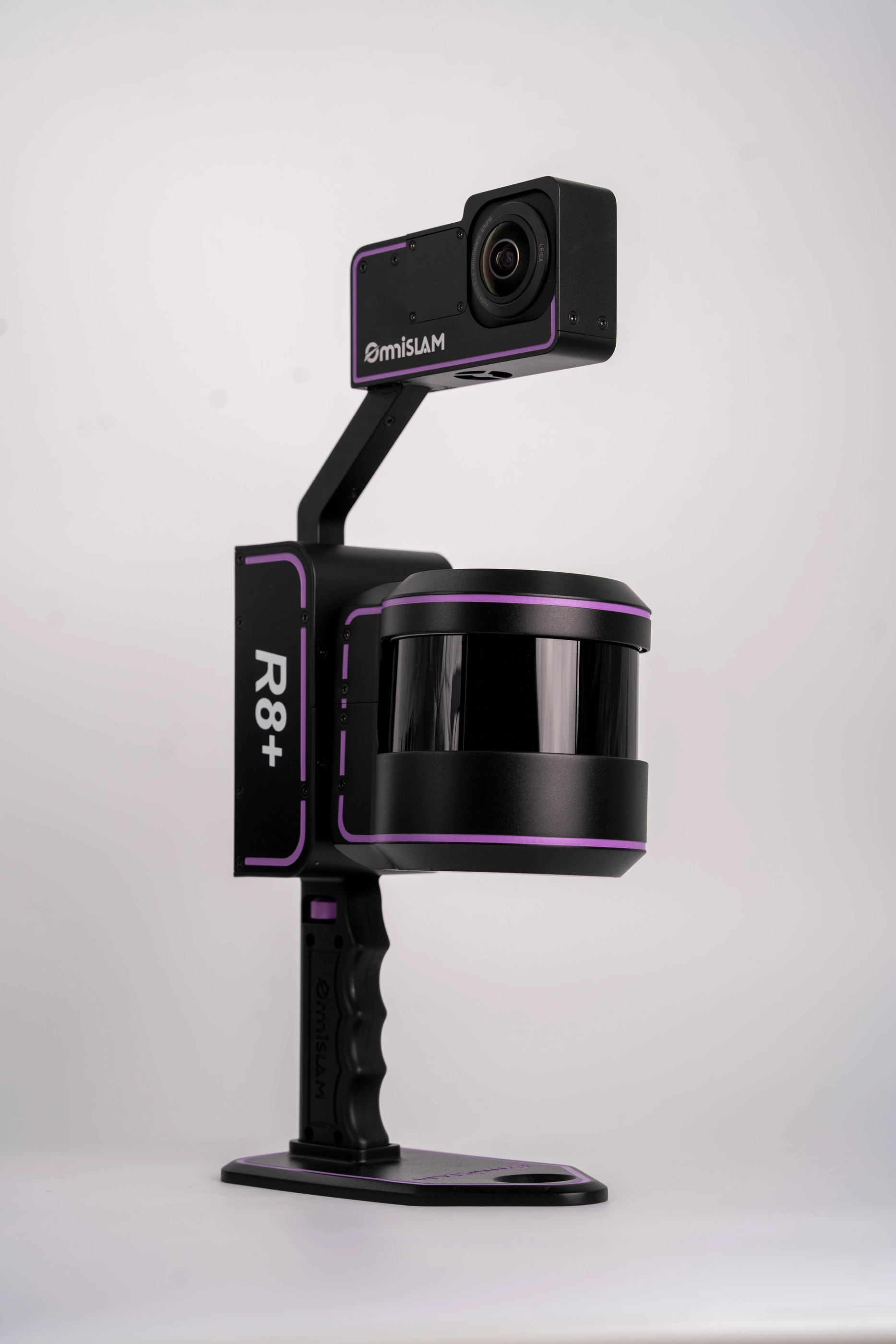
Capture site detail as usable three-dimensional data.
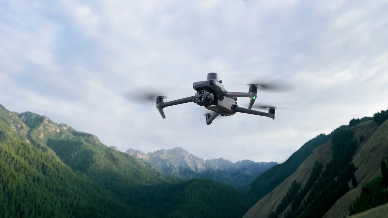
Capture large sites and document projects from the air.

Depth measurement and positioning for water-based projects.
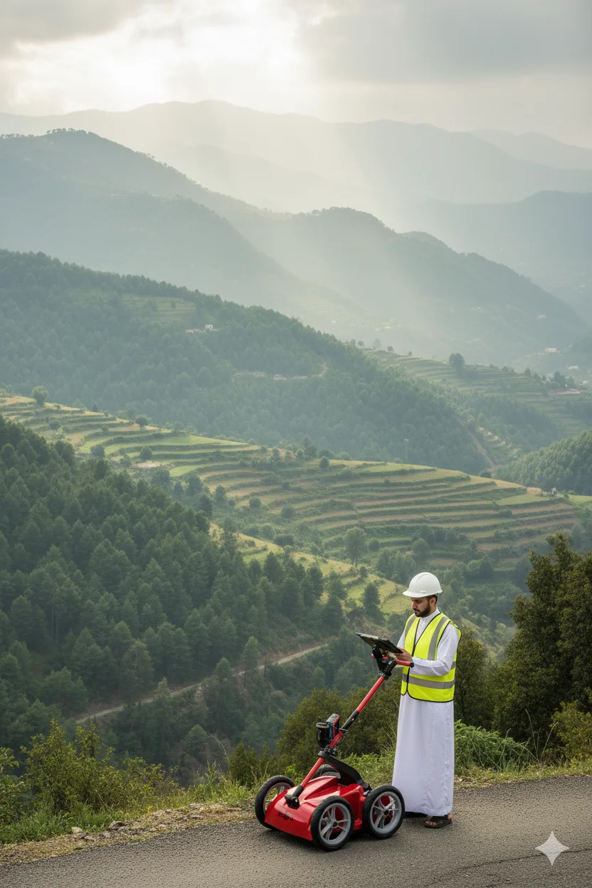
Understand subsurface conditions before excavation.
Four maintenance and calibration plans for total-station and auto-level fleets. Choose the service level that fits your team.
Fewer than 25 instruments
30 to 50 instruments
30 to 50 instruments
30 to 50 instruments
Plans cover total stations and auto levels. GNSS service is priced separately. Service scope, tax and availability are confirmed in the quotation.
Selected excerpts from Google Maps reviews of our Riyadh branch.
Excellent service and an excellent warrantyRead the original review
Excellent company to deal with, with top-quality equipmentRead the original review
An excellent company meeting most surveying needs, with excellent service and reasonable pricesRead the original review
Last checked: 6 September 2026. The rating and review count may change on Google Maps.
 GNSS & RTK
 Measurement & surveying
 3D / SLAM
 Ground-penetrating radar










Riyadh, Jeddah, Dammam, Tabuk and Khamis Mushait. Choose your branch for the address, directions and a direct conversation.
Salahuddin St, Al Malaz, Riyadh 12812
Saturday to Thursday, 9:00 to 18:00
Register your interest to learn about the programme when details are announced. Rewards are subject to final launch terms.
Explore equipment and accessories, or speak with our team for a recommendation around your project.