
Open-site surveying
Collect coordinates within the project reference system. Assess GNSS using signal conditions, correction method and working range.
Equip your office for its everyday work, from surveying and setting out to reality capture and data delivery.
Find the task closest to your work, then explore the relevant solutions.
Collect coordinates within the project reference system. Assess GNSS using signal conditions, correction method and working range.
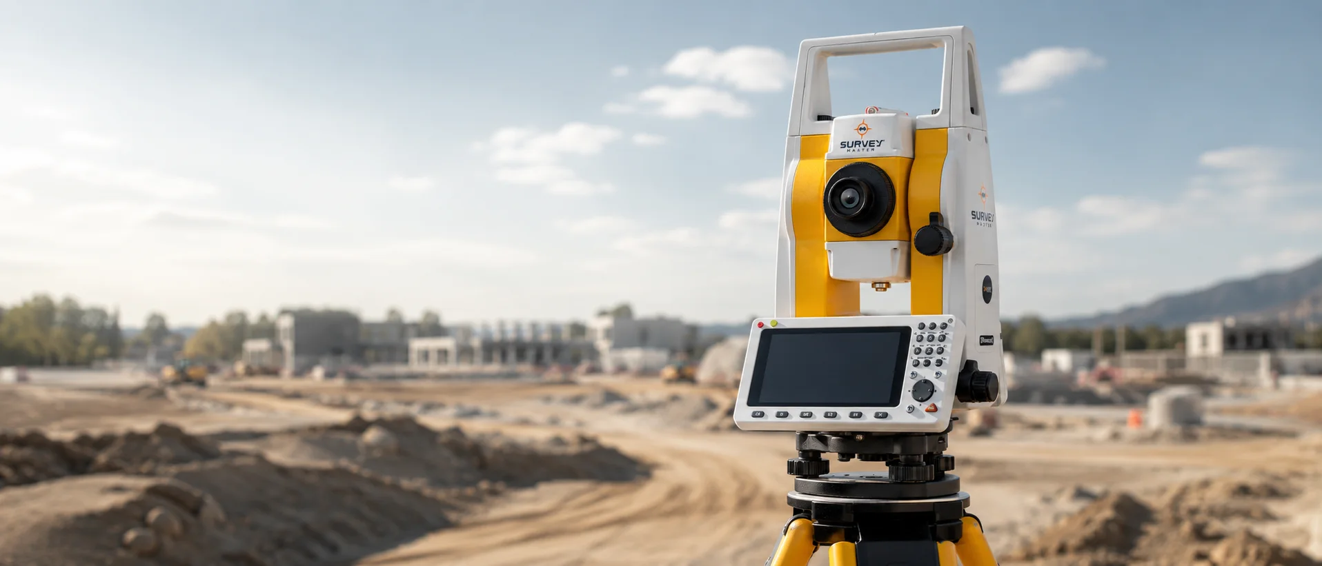
For direct point observation, orientation and level control. Define your requirements for total stations, levels and accessories.
Add 3D deliverables or aerial maps according to client needs, including processing, output formats and team training.
Which tasks are most frequent in your office?
Which software and delivery formats do you use?
How many teams operate simultaneously?
Discuss team setup, training and calibration. For temporary requirements, explore rental options for the project.
Rental optionsMaintenance & calibration