
Documenting buildings and structures
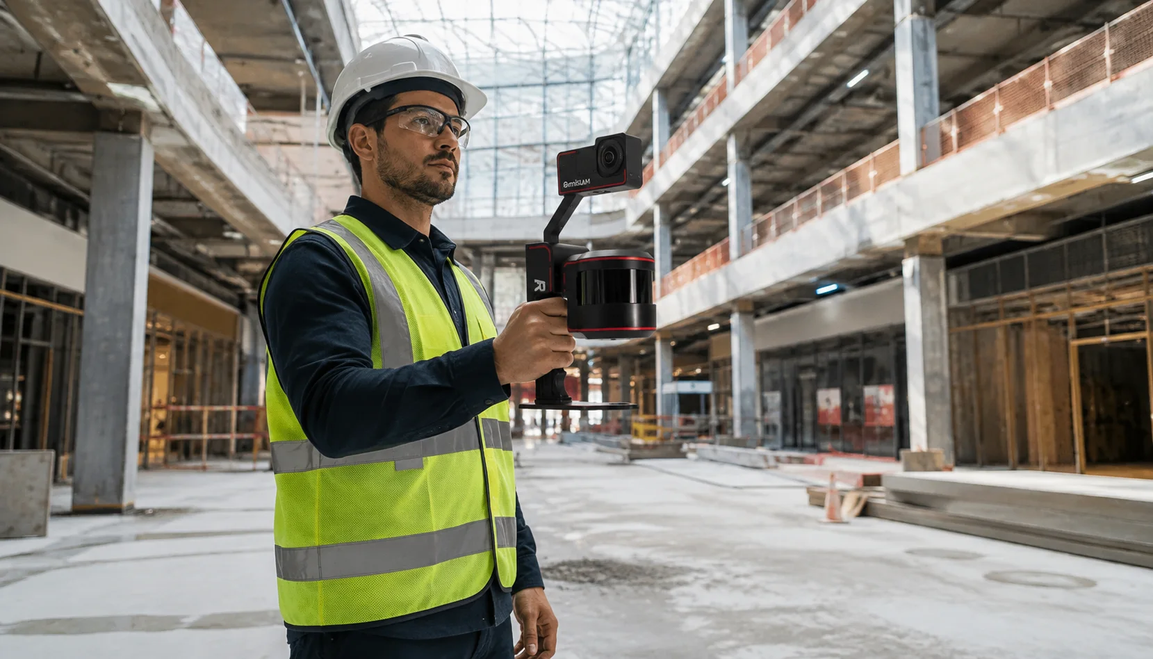
Capture reality and prepare 3D data for review and coordination. Define detail levels, work areas and required deliverables.
Clearer field data for design review, existing-condition documentation and construction verification. Start with the information your decision requires.
Find the task closest to your work, then explore the relevant solutions.
Capture reality and prepare 3D data for review and coordination. Define detail levels, work areas and required deliverables.
Measure points and levels against project requirements. Select the method based on accuracy, site conditions and control network.
Collect surface data and investigate underground utilities. Assess GPR for soil and target conditions, and aerial mapping for area and deliverables.
Which decision or report must the data support?
What detail and accuracy are required?
What data format does the design team need?
Discuss team setup, training and calibration. For temporary requirements, explore rental options for the project.
Rental optionsMaintenance & calibration