
Solutions & equipment
Start with the task. Find the right technology.
Explore our solution areas around your work. Each has its own applications and equipment, backed by our team.
7 solution areas for your selection
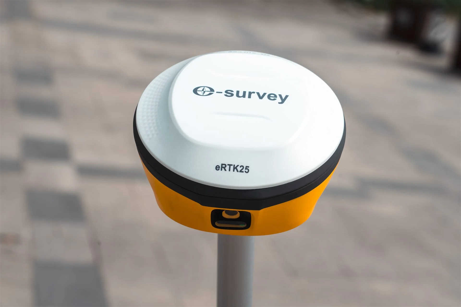
GNSS & RTK systems
Positioning, topographic surveys and setting out in the field.
Explore solution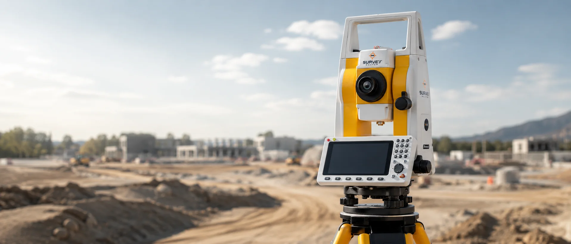
Total stations & levels
Angles, distances, levels and precise site layout.
Explore solution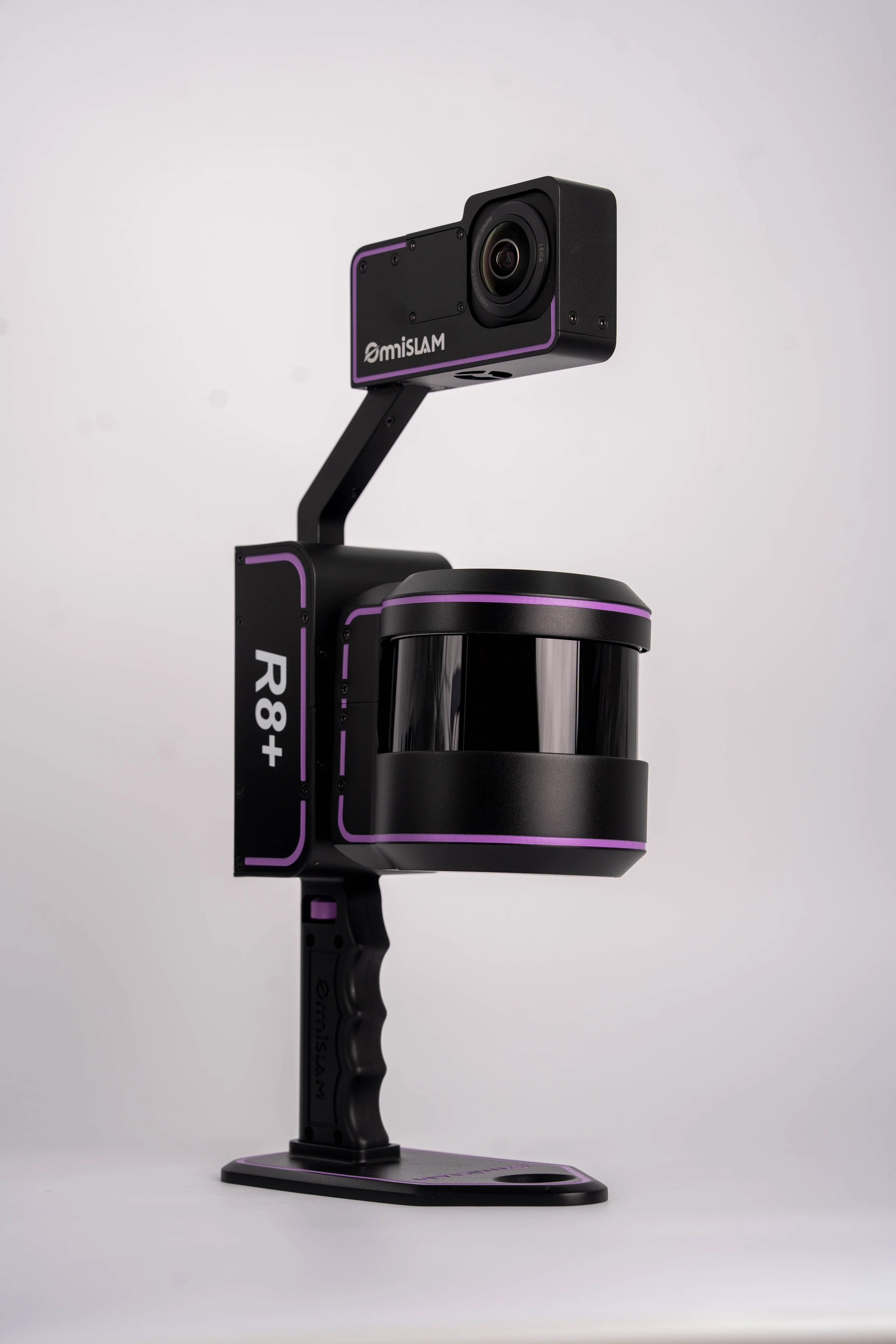
3D scanning & LiDAR
Capture site detail as usable three-dimensional data.
Explore solution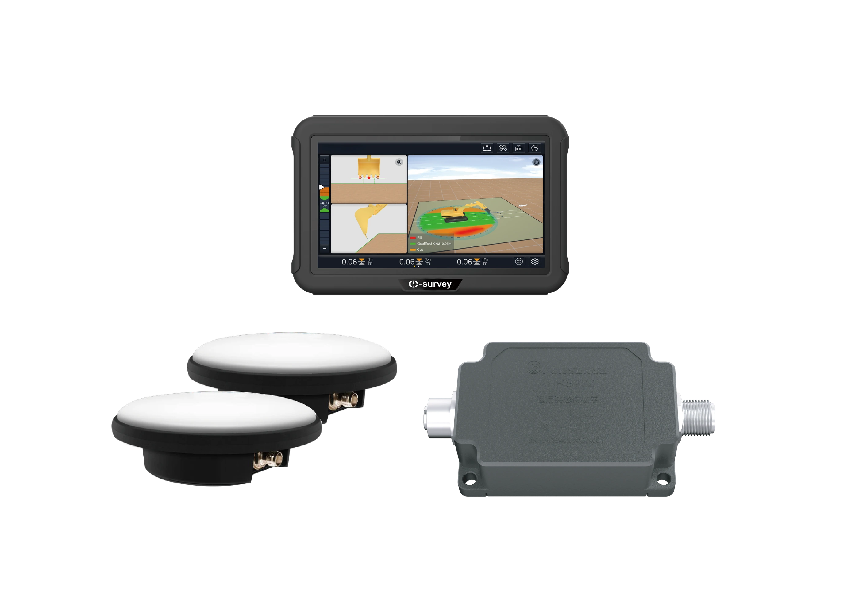
Machine control
Support grading and execution with design data and guidance.
Explore solution
Underground detection
Understand subsurface conditions before excavation.
Explore solution
Marine surveying
Depth measurement and positioning for water-based projects.
Explore solution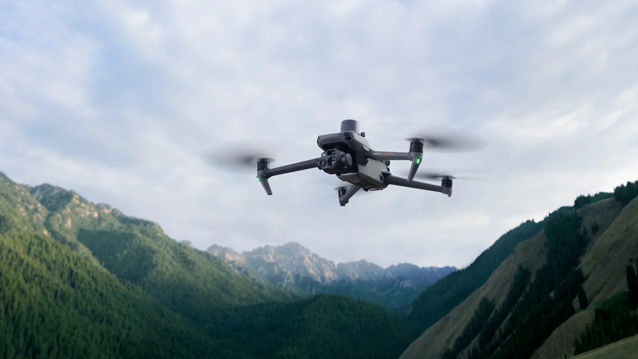
Drone & aerial mapping
Capture large sites and document projects from the air.
Explore solutionYOUR NEXT STEP
Talk to a specialistEvery project starts with a question. Let’s find your answer.
Tell us about your work. We’ll help you find the right equipment or service.